Army General campaign map: Operation Bagration front around Bobruisk
Steel Division 2 · Campaign / World Map
Art style Realistic 3D
About this game
Developer: Eugen Systems · Publisher: Eugen Systems · Platform: PC (Steam) · Art style: Realistic 3D · Screen type: Campaign / World Map
More Steel Division 2 screens in the Gallery
What to study
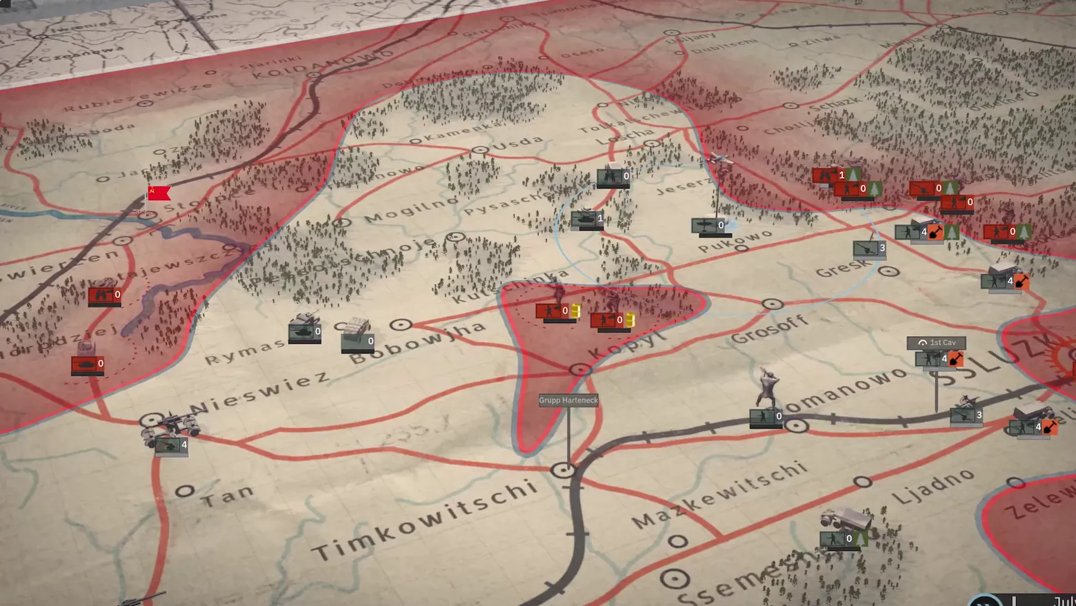
Steel Division 2's strategic layer is a staff map, and the map is the interface. The front line is drawn as a red boundary across a paper map of the Bobruisk sector, and territory is read from the tint: Soviet-held ground is washed red, German-held ground left plain, so the state of the campaign is visible before any counter is read. Units are NATO-style counters — branch icon plus a strength number, red against grey-green — with a small 3D model standing on the map beside each one, a deliberate double encoding: the counter is the wargame, the model is the reminder that each counter is a battlegroup of real vehicles. The selected battlegroup advertises its reach with a pale-blue movement circle and a dotted red path into a shaded objective pocket around Kopyl, and the two leader callouts ('Grupp Harteneck', '1st Cav') show that the map's actors are named formations, not anonymous stacks. Nothing else competes for attention: there is no side panel, no top bar in this framing, only the map, the counters and the front. Frame at 1:09 in the Launch Trailer video (Steam), pipeline scene-change candidate v0_0032 at 69.6s.
Patterns
How the screen is arranged.
map-overlay map-icons location-label route-planning
Components
Parts on screen.
Screen inventory
- the paper staff map itself: Operation Bagration front around Bobruisk, Soviet-held ground tinted red against German-held ground, orange roads, a black rail line, blue rivers, forest clusters and town names (Timkowitschi, Nieswiez, Bobowjha, Mazkewitschi, Ljadno) printed on the map
- the red front line as the territory boundary, with a red shaded objective pocket around Kopyl and a dotted red movement path running into it
- NATO-style unit counters with branch icons (infantry, tank, artillery, aircraft) and strength numbers 0-4, red for Soviet and grey-green for German, each with a small 3D unit model standing on the map beside its counter
- leader callout labels with pins: 'Grupp Harteneck' and '1st Cav', plus a pale-blue movement-radius circle around the selected battlegroup
- the turn/date control at bottom right, partially cropped at the frame edge ('July...' visible) — a trailer framing crop, not part of the screen's own layout
Top 3 colors
#9e877b 24%#8e615c 22%#aba08f 14%
Top three palette colors by share. The remaining colors make up the rest.
Source and credit
© Eugen Systems, Steel Division 2 screenshot: Launch Trailer video (Steam), shown for design study and commentary. PlayCraft is an unofficial fan project, not affiliated with or endorsed by Eugen Systems.
Source tier 2 (publisher-released) · screenshot: Steam store page · Steam page
Source details
Fetched 2026-11-04. verified 2026-11-04: frame inspected visually at full resolution (1920x1080 native); genuine in-game Army General campaign map confirmed settled and legible (front line, town names, counter icons and strength numbers, leader labels, movement circle and dotted path all readable; probes at 69.0s and 69.5s show the same map at a slightly closer zoom and 70.0s the identical framing — the map is static, only the trailer camera drifts slowly; the 67.0s dissolve-in and the 68.5s frame with animated result letters were rejected in favour of this clean state); no trailer typography overlays the frame; the bottom-right date control is partially cropped by the trailer framing
no published policy found (checked 2026-11-04); fair-use study use, takedown honored within 48h
Rights holders: see Copyright & takedown.
Similar screens
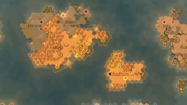 ENDLESS Legend - Region map: Rexos and Chadhun in orange, named neighbours
Same type: Campaign / World Map; Shared patterns: map-overlay, location-label, map-icons
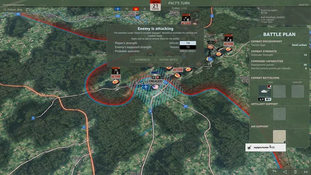 WARNO - Army General: Enemy is attacking, Battle Plan for Bad Hersfeld
Same type: Campaign / World Map; Shared patterns: map-overlay, map-icons, location-label
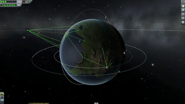 Kerbal Space Program - CommNet map view: relay links drawn around Kerbin
Same type: Campaign / World Map; Shared patterns: map-overlay, route-planning
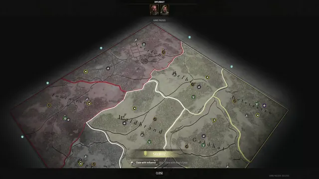 Manor Lords - Diplomacy map: claiming Selbitz with Influence or the King's Favor
Same type: Campaign / World Map; Shared patterns: map-overlay, location-label
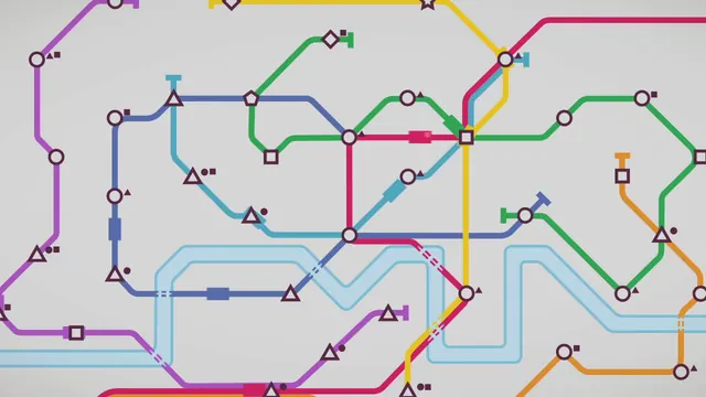 Mini Metro - Network diagram at full stretch: eight colour-coded lines
Same type: Campaign / World Map; Shared patterns: map-icons, route-planning
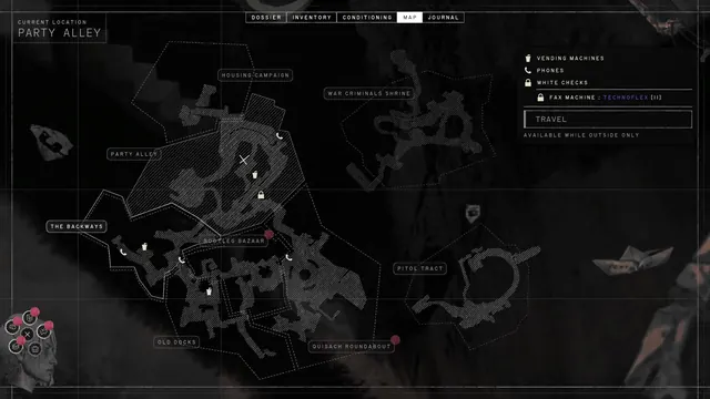 ZERO PARADES: Director's Cut - Map: Portofiro's districts drawn as hatched line-work
Same type: Campaign / World Map; Shared patterns: map-overlay, location-label